When Four Roads Meet and Nobody Agrees: The Intersection Data Problem Breaking Your GPS
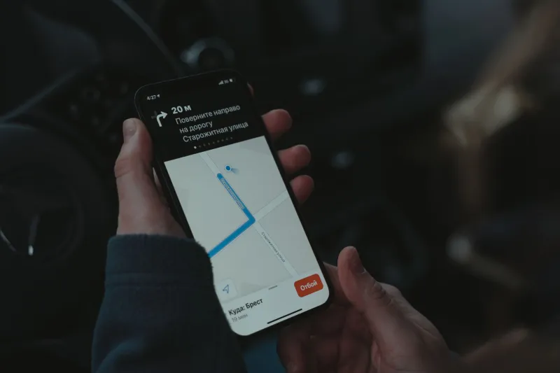
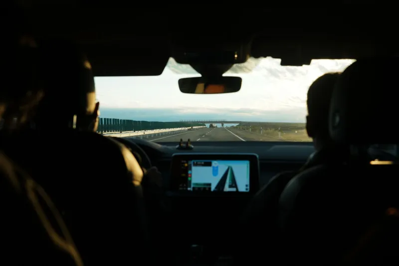
You're cruising through an unfamiliar part of town, following your navigation app's instructions to the letter. It tells you to hang a left onto a side street. You signal, slow down, and — wait. There's a concrete median there. No left turn. Hasn't been one for years, probably. You scramble to reroute while traffic piles up behind you.
This kind of thing happens millions of times a day across the US, and the root cause isn't user error or a fluke glitch. It's a structural problem buried inside the digital maps we all depend on: intersection data is a mess, and the biggest players in navigation can't agree on something as fundamental as where streets physically meet.
The Same Corner, Three Different Realities
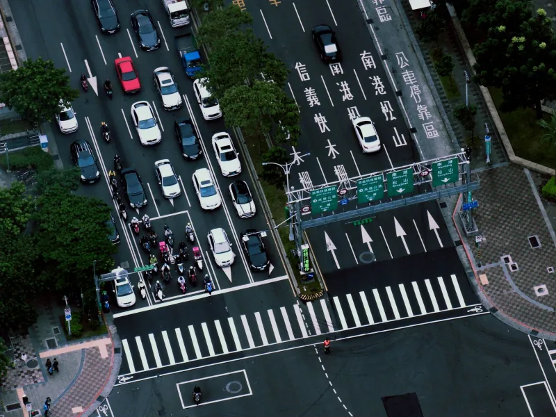
Pull up the same busy intersection in Google Maps, Apple Maps, and OpenStreetMap, and you might be looking at three genuinely different pictures. The lane configuration could vary. Turn restrictions might appear in one and disappear in another. The exact node — the digital point where two road segments connect — might be plotted at slightly different coordinates across platforms.
Those differences sound minor. In practice, they're not.
For a human driver, a small positional discrepancy at an intersection is annoying but manageable. Your brain fills in the gaps. You see the stop sign, you process the physical geometry of the road, and you adapt. But navigation algorithms don't have that luxury. They're working from the data they were given, and if that data says a left turn is permitted when it isn't — or that a lane exists when it doesn't — the routing engine will confidently send you somewhere you physically cannot go.
Why Mapping Platforms Disagree on Basic Geometry
The short answer is that each platform builds its maps differently, updates them on different schedules, and sources its data from different places.
Google Maps leans heavily on satellite imagery, Street View photography, and real-time feedback from its enormous user base. It also maintains direct data-sharing relationships with local governments and transportation agencies. That's a powerful combination, but it's not infallible — especially in areas where street configurations change faster than the update cycle.
Apple Maps went through a painful public rebuild after its disastrous 2012 launch and has invested significantly in ground-truth data collection, including its own fleet of mapping vehicles. But coverage is uneven, and in mid-size American cities, the intersection-level detail still lags behind Google in some neighborhoods.
OpenStreetMap is the wildcard. It's community-edited, which means accuracy varies wildly by location. In dense urban areas with active contributor communities — think San Francisco, New York, Chicago — OSM intersection data can actually be more granular and up-to-date than the commercial alternatives. In rural stretches of the Midwest or the South? It might not have been touched in years.
The result is a fragmented mapping ecosystem where the same four-way stop in suburban Ohio can have three different digital identities depending on which platform you're using.
Turn Restrictions: The Invisible Problem
Of all the ways intersection data can go wrong, incorrect turn restrictions might be the most consistently disruptive.
Turn restrictions are embedded in map data as relational rules — basically, instructions that tell a routing algorithm "if you're traveling east on Street A and you reach Intersection B, you cannot turn north onto Street C." These rules have to be manually encoded. They don't emerge automatically from satellite imagery. Someone has to know the restriction exists and add it to the database.
That process breaks down constantly. Cities update traffic patterns. New medians get installed. Temporary construction restrictions become permanent. And the maps don't always catch up.
For regular drivers, a wrong turn restriction in the data means an illegal route suggestion. For delivery drivers running dozens of stops a day, it compounds into wasted time, missed delivery windows, and real money lost. Companies like UPS and FedEx have actually built their own internal mapping layers on top of commercial data precisely because they can't trust intersection-level accuracy for high-frequency routing.
What This Means for Self-Driving Technology
Here's where the stakes get significantly higher. Autonomous vehicles don't just use maps for general routing — they use them for real-time spatial positioning. An AV needs to know, with centimeter-level precision, exactly where it is relative to lane markings, stop lines, and intersection boundaries.
When the underlying map data has intersection geometry that's off by even a few meters, that's not a minor inconvenience. It's a safety-critical failure point.
Several AV developers have been quietly building what's called HD (high-definition) mapping infrastructure specifically to address this gap. These aren't your standard navigation maps — they're layered, constantly updated datasets that capture intersection geometry in three dimensions, including curb heights, signal positions, and lane-level turn restriction data.
But HD maps are expensive to produce and maintain, and they don't cover the entire country. So autonomous vehicles operating outside of pre-mapped corridors are still, in many cases, working from the same imperfect intersection data that sends your phone's navigation into a median.
The Crowdsourcing Paradox
One of the most interesting tensions in this space is between crowdsourced accuracy and crowdsourced error.
Google Maps and Waze both incorporate user-reported corrections into their datasets, and in high-traffic areas, this feedback loop can surface intersection problems pretty quickly. A wrong turn restriction gets flagged, reviewed, and corrected. The system self-heals.
But that same mechanism introduces its own noise. User reports are inconsistent. Corrections get applied and then overwritten. In some cases, a well-intentioned edit from a local contributor actually makes the data worse for a few weeks before another correction comes through.
OpenStreetMap deals with this constantly — the community calls it "edit wars," and intersections in contested or frequently-changing areas can see repeated back-and-forth changes that leave the data in a perpetually unstable state.
What Drivers Can Actually Do About It
Honestly? Not a ton, in the short term. But a few habits help.
First, report errors when you hit them. Both Google Maps and Apple Maps have built-in feedback tools, and those reports do eventually influence the data. It's slow, but it works.
Second, don't autopilot through unfamiliar intersections. Navigation apps are guidance tools, not oracles. If the visual reality in front of you contradicts what the app is telling you, trust your eyes.
Third, if you're doing high-frequency routing for work — delivery, rideshare, field services — consider apps that specialize in commercial routing. Some of these platforms maintain more frequently updated intersection data for exactly the use cases where accuracy matters most.
The Bigger Picture
The intersection problem is, in a lot of ways, a mirror of a broader challenge in digital mapping: the physical world changes faster than our ability to document it. Roads get reconfigured. Municipalities redesign intersections for safety. New developments alter traffic flow patterns. And somewhere in the gap between physical reality and digital representation, drivers get routed into medians.
Until mapping platforms develop faster, more reliable methods for capturing and verifying intersection geometry — whether through AI-assisted imagery analysis, real-time sensor data from connected vehicles, or better crowdsourcing pipelines — that gap isn't going anywhere.
For now, the smartest move is the same one it's always been: keep your eyes on the road, not just the screen.