Dead Roads, Live Directions: The Mapping Crisis Sending Drivers Into Nowhere
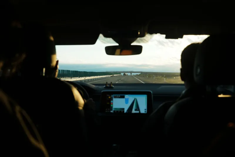
There's a particular kind of dread that hits when you're cruising down an unfamiliar road at 50 mph, GPS chirping confidently, and you suddenly realize the road ahead just... stops. Not a detour. Not construction. An actual end — where pavement gives way to dirt, chain-link fencing, or worse, a demolished overpass that your navigation app still thinks is very much alive.
This isn't a fringe issue. Across the US, drivers are being routed onto roads that were closed, bridges that were demolished, and intersections that were redesigned years ago. The maps in your pocket — or on your dashboard — are running on data that reality has already moved past.
The Gap Between Asphalt and Algorithm
Here's the uncomfortable truth: the maps powering your navigation app are never truly current. They're snapshots. And depending on the platform, those snapshots might be anywhere from a few weeks to several years old in certain regions.
Major platforms like Google Maps, Apple Maps, and Waze pull from a mix of satellite imagery, user-submitted edits, local government data feeds, and third-party mapping vendors. That sounds robust, but it creates a patchwork system where some areas get updated constantly while others lag badly. Rural counties, mid-sized cities undergoing rapid infrastructure overhauls, and regions hit by natural disasters are especially prone to falling through the cracks.
When a municipality tears down a highway ramp, replaces a bridge, or reconfigures a major interchange, there's no automatic pipeline that pings Google or Apple and says "update your data." The process depends on a fragile chain of data submissions, satellite re-imaging schedules, and community reports. That chain breaks more often than anyone in the tech industry likes to admit.
Real Incidents, Real Consequences
In 2022, a section of an old elevated highway in the Midwest that had been partially demolished still appeared as a valid route on at least two major navigation platforms for months after demolition began. Drivers following GPS instructions were directed toward barricades, with some reporting near-misses in low-visibility conditions at night.
Similar stories pop up regularly in local news. A driver in rural Georgia follows her GPS down a county road that dead-ends at a washed-out bridge — the kind of damage that happened during a storm two seasons ago. A delivery driver in a Chicago suburb gets routed through a neighborhood where a road was permanently closed during a school zone expansion. None of these situations made national headlines, but they're happening constantly, and they point to a structural problem that a software update alone can't fix.
The Federal Highway Administration estimates that the US has over 4 million miles of public roads. Keeping digital maps synchronized with that physical network — especially as infrastructure ages, gets rebuilt, and gets repurposed — is an enormous undertaking that the private sector has largely taken on without standardized protocols.
Who's Actually Responsible?
This is where things get legally murky. When a GPS app sends you toward a demolished overpass and you end up in a ditch, who's on the hook?
Tech companies have historically shielded themselves with terms of service language that essentially says: use this for navigation at your own risk. Apple Maps, Google Maps, and others include disclaimers that their data may not be accurate and that drivers should use their own judgment. Courts have generally been reluctant to hold mapping platforms liable for navigation errors, though that legal landscape is slowly shifting as GPS dependency becomes more deeply embedded in everyday driving.
Municipalities face their own liability exposure. If a city tears down a bridge but fails to submit updated road data to federal or state GIS databases — which then feed into commercial mapping platforms — they could potentially be on the hook if someone gets hurt following outdated GPS directions. Some cities have started proactively reaching out to mapping companies when major infrastructure changes happen, but this is far from standard practice.
The liability question becomes even more complicated as autonomous and semi-autonomous vehicles enter the picture. A human driver can (in theory) override a bad GPS instruction. A vehicle relying on map data for navigation decisions cannot.
Why Updates Take So Long
One thing that surprises most people: even when mapping companies know about a road change, updating it isn't instant. The pipeline from "we know this road is gone" to "the app reflects that" involves data validation, quality checks, regional rollouts, and sometimes legal review if the change affects a named road or highway designation.
For major metro areas with heavy user traffic, this can move relatively fast — sometimes within days if enough users report an issue through in-app feedback. But for lower-traffic areas, the update queue can stretch for months. There's simply less commercial incentive to prioritize a county road in rural Arkansas over a freeway interchange in Los Angeles.
Waze, which relies heavily on crowdsourced reporting, can sometimes surface road closures faster than its competitors — but only if enough users in that area are active on the platform. In sparse regions, crowdsourcing doesn't solve the problem; it just highlights how uneven the coverage is.
What Drivers Can Actually Do
Until the industry develops better real-time infrastructure sync, there are some practical moves that can reduce your exposure to ghost route problems.
Check multiple sources before unfamiliar trips. If you're heading somewhere you've never been, cross-reference your primary nav app with a secondary one. Disagreements between platforms on a specific route segment can be a red flag worth investigating.
Use satellite view before you drive. Most navigation apps let you switch to satellite imagery. A quick visual check of your planned route — especially any bridges, overpasses, or rural connectors — can reveal obvious discrepancies between the map and reality.
Report what you see. Every major navigation platform has an in-app reporting tool. Using it when you encounter a closed road or demolished structure actually helps — both for other users and for nudging the platform's update queue.
Trust your eyes over the app. This sounds obvious, but it bears repeating: if physical reality and your GPS are telling you different things, physical reality wins every time. No ETA is worth driving into a construction zone or off a missing bridge.
The Bigger Picture
The ghost routes problem isn't just a tech inconvenience. It's a symptom of a larger mismatch between how fast our physical infrastructure changes and how slowly our digital representations of it catch up. As cities rebuild aging highways, reroute traffic for climate resilience, and redesign urban cores, the gap between the map and the territory is only going to grow — unless the industry, local governments, and federal agencies develop better real-time data-sharing frameworks.
Until that happens, your GPS is doing its best with information that's already a little bit in the past. Sometimes that's fine. Sometimes it sends you toward a road that exists only in memory and in the database of a company that hasn't gotten the memo yet.
Navigate accordingly.