Signal Gone: The Hidden Dead Zones Quietly Redirecting How America Drives
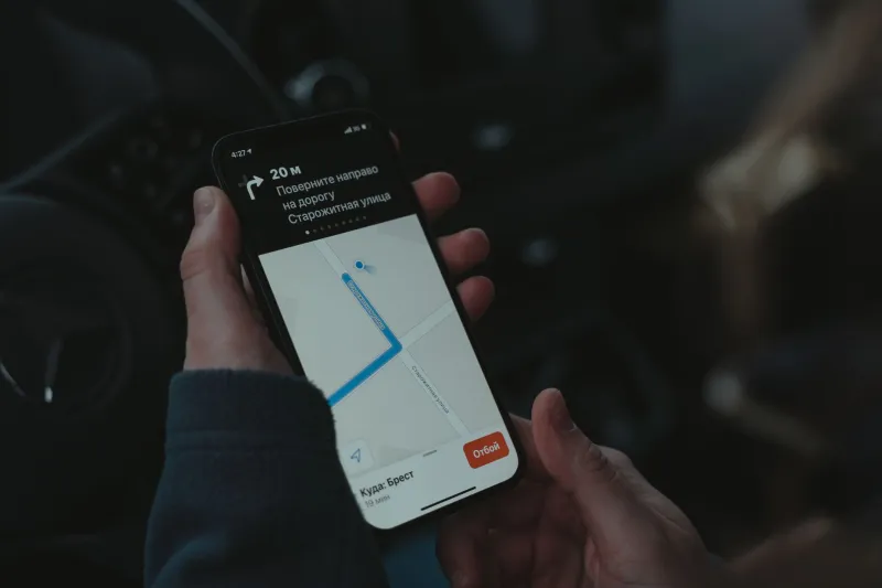
Picture this: you're driving through a narrow stretch of downtown Chicago, high-rises stacked on both sides, and suddenly your navigation app freezes. The little blue dot stops moving. The turn-by-turn voice goes quiet. You're technically in one of the most connected cities in the world, and your GPS has absolutely no idea where you are.
This isn't a fluke. It's a pattern — and it's happening in more places than most drivers realize.
What's Actually Causing the Blackout
GPS works by triangulating signals from a constellation of satellites orbiting roughly 12,500 miles above Earth. The system is impressively reliable — until it isn't. Signal loss usually comes down to one of a few culprits.
In dense urban environments, the problem is called multipath interference. Satellite signals bounce off glass towers, steel facades, and concrete overpasses before they reach your phone's receiver. Your device ends up processing reflected signals instead of direct ones, which throws off positioning accuracy by anywhere from a few feet to several city blocks. That's the difference between turning onto the right street and ending up in a parking garage you didn't ask for.
In rural areas, the issue is almost the opposite. Wide valleys, deep mountain passes, and heavy tree canopy all block the line-of-sight your device needs to lock onto enough satellites. Parts of Appalachia, the Pacific Northwest, and stretches of the Southwest have consistent dead zones that show up reliably on no official map — because no official map bothers to document them.
Then there's a third category that doesn't get talked about nearly enough: infrastructure interference. Certain electrical substations, military installations, and even some industrial facilities emit radio frequency noise that drowns out GPS signals entirely. Drivers near these sites often notice their navigation apps behaving erratically without any obvious explanation.
The Traffic Patterns Nobody Planned For
Here's where things get genuinely interesting. When GPS consistently fails in a specific location, drivers don't just shrug and keep going. They adapt. Over time, those adaptations calcify into new, informal traffic patterns.
In cities like San Francisco and New York, regular commuters have developed mental workarounds for known dead zones — avoiding certain tunnels, sticking to streets with wider sky exposure, or switching to transit for the last mile of a trip. Delivery drivers, who live and die by accurate positioning, have built entire route strategies around avoiding GPS-dark corridors.
The unintended consequence? Streets adjacent to dead zones absorb dramatically more traffic than urban planners ever anticipated. Roads that weren't designed for heavy volume end up as de facto detour routes, simply because GPS-dependent drivers unconsciously funnel toward them. The navigation apps themselves reinforce this behavior, routing users around known problem areas and concentrating flow on whatever alternatives their algorithms prefer.
What starts as a signal problem becomes a congestion problem — and nobody's officially connecting those dots.
Emergency Response Is Taking the Hit
The stakes get significantly higher when you factor in emergency services. Ambulances, fire trucks, and police units increasingly rely on the same GPS-based dispatch and routing systems that civilian drivers use. When those systems fail in the field, response times stretch.
A 2022 study from the National Emergency Number Association found that GPS location errors contributed to delayed emergency responses in urban canyon environments across multiple major US cities. Dispatchers received incorrect coordinates. Units navigated to the wrong block. In dense neighborhoods where seconds matter, those errors have consequences.
Rural dead zones create a different but equally serious problem. When someone calls 911 from a valley in rural Montana or a forested stretch of North Carolina, their phone may not be able to transmit accurate GPS coordinates at all. Call takers are left working with cell tower triangulation data, which can place a caller anywhere within a radius of several miles. First responders end up searching blind.
Some counties have started maintaining paper-based backup systems specifically for these scenarios — a low-tech solution to a very high-tech failure point.
Why Navigation Algorithms Stay Silent About It
You'd think that mapping companies would flag known dead zones directly inside their apps. A little warning banner, maybe a reroute suggestion before you enter a blackout corridor. So far, that's largely not happening — and the reasons are more complicated than simple negligence.
For one, GPS dead zones are dynamic. Signal quality changes based on time of day, weather, satellite positioning cycles, and even nearby construction. A location that's unreliable at 7 a.m. might work fine by noon. Mapping that kind of variability accurately would require a density of real-time sensor data that most companies aren't collecting at that granular a level.
There's also an incentive gap. Navigation apps are built to route you through the world as it exists in their data — not to surface the world's imperfections. Acknowledging dead zones prominently might raise uncomfortable questions about reliability that no company is eager to answer.
Some third-party apps and developer communities have started crowdsourcing dead zone data independently, building unofficial maps of GPS-unreliable locations. It's grassroots, patchy, and incomplete — but it's more than the major platforms are currently offering.
What Drivers Are Actually Doing About It
In the absence of official solutions, drivers have gotten creative. A few strategies that are gaining traction:
Downloading offline maps before you travel. This doesn't fix GPS signal loss, but it means your app still has map data to display even when positioning goes sideways. Apps like Maps.me and Google Maps' offline mode both support this. It's not perfect, but it keeps you oriented.
Using a dedicated GPS unit alongside your phone. Standalone GPS receivers often use more sensitive antenna hardware than the chips embedded in smartphones. Truckers and serious road-trippers have known this for years. For anyone regularly driving through known dead zones, a dedicated unit can bridge gaps that your phone simply can't.
Noting landmarks before entering known problem areas. Old-school, yes. But in GPS-dark corridors, knowing that you need to turn left at the gas station after the railroad bridge is genuinely more reliable than waiting for an app to recover its signal.
Checking community forums before unfamiliar routes. Reddit communities, driving forums, and local Facebook groups often contain hyper-specific knowledge about signal problems in particular areas. It's informal intelligence, but it's frequently more current than anything the major apps provide.
The Bigger Picture
GPS dead zones aren't going away anytime soon. The satellite infrastructure is improving incrementally, and newer chipsets in high-end phones handle multipath interference better than older hardware. But the urban canyons are getting taller, the rural infrastructure gaps aren't closing fast enough, and the demand for precise, real-time positioning is only accelerating.
What the dead zone problem really exposes is how completely we've handed navigation over to systems we don't fully understand — and how little visibility we have into where those systems quietly break down. The apps feel seamless until they don't. And when they don't, you're on your own in ways most drivers never anticipate.
Knowing where the blind spots are, and building habits around them, is the closest thing to a real solution we have right now. Navigate smarter — especially through the places the map pretends don't exist.