Why Your Package Is Circling the Block: The GPS Gap That's Breaking Last-Mile Delivery
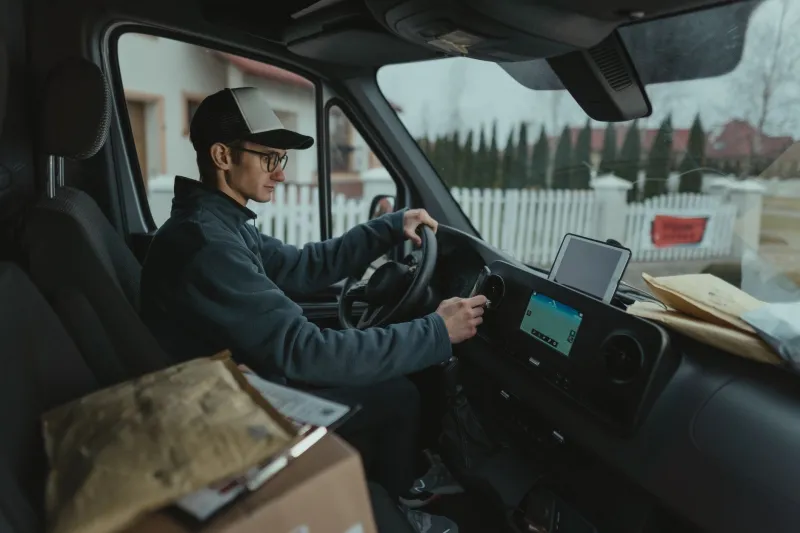
You've been home all day. You heard no knock. You got no ring on the doorbell. But somehow, your tracking page says "Delivery Attempted" — and now your package is sitting at a facility thirty minutes away, waiting for you to pick it up or reschedule.
Sound familiar? You're not imagining it, and you're definitely not alone.
This scenario plays out millions of times a day across the US, and while it's easy to blame the driver or the shipping company, there's a deeper, more technical culprit quietly causing chaos in the background: GPS coordinates that simply don't match where deliveries actually need to happen.
A Pin on a Map Isn't the Same as a Front Door
When a mapping database assigns a GPS coordinate to your address, it's usually doing a best-guess calculation. The system might place the pin at the center of a parcel boundary, at the midpoint of a building's footprint, or — in a lot of cases — somewhere along the street edge nearest to that address number. That works fine when you're navigating to a general neighborhood. It falls apart completely when a driver needs to find the exact entrance to your apartment complex, the correct loading dock on a warehouse block, or the right building in a multi-unit development where four identical structures share a single street address.
For regular navigation, "close enough" is usually fine. For delivery logistics, it's a disaster.
The Apartment Complex Problem
Multi-unit residential buildings are where this gets especially messy. A large apartment complex might have one mailing address — say, 4800 Westlake Drive — but physically span several acres with multiple gated entrances, numbered buildings, and parking structures that block direct access to unit doors.
The GPS coordinate for "4800 Westlake Drive" might drop a pin at the leasing office on one side of the property. A driver trying to reach Unit 312 in Building C could end up on the completely wrong side of the complex, with no clear path through. Add a gate code they weren't given, a confusing internal road layout, and a delivery window that's ticking down — and that "attempted delivery" starts to make a lot more sense.
According to industry research, failed first-attempt deliveries cost the logistics industry somewhere in the range of $17 to $20 billion annually in the US alone. A significant chunk of that comes down to address ambiguity and GPS mismatch — not driver error.
Commercial Addresses Are Even Worse
Residential deliveries are frustrating. Commercial ones can be genuinely baffling.
Take a large office park or industrial complex. The GPS pin might lead a driver to the main entrance on one street, when the actual receiving dock is accessible only from a service road off a completely different street — sometimes without any visible signage connecting the two. Drivers using consumer-grade navigation apps get routed to the "address," which is technically correct, but operationally useless.
Some warehouses and distribution centers have tried solving this by listing their dock addresses separately, but that data doesn't always make it into the standard mapping databases that delivery apps pull from. So the routing instructions say one thing, the physical reality says another, and the clock is running.
How the Data Gap Happens
The core issue is that most GPS and mapping databases were built for getting people to places, not for guiding logistics operations through them. Consumer navigation is about arrival. Delivery logistics is about access — and those are very different problems.
Address data in the US comes from a patchwork of sources: county assessor records, USPS address files, private data aggregators, and mapping companies' own surveys. None of these were specifically designed to capture delivery-relevant details like entrance locations, dock coordinates, gate codes, or building-level navigation inside a property boundary. That layer of information simply doesn't exist in most standard datasets.
Some larger logistics players like UPS, FedEx, and Amazon have started building proprietary address intelligence systems that layer additional metadata on top of standard GPS data — flagging preferred entrances, storing driver notes, and even using machine learning to predict the best approach route based on past delivery history at that address. But even these systems have blind spots, especially at newer addresses, recently renovated properties, or locations that haven't had enough delivery history to build useful patterns.
The "Last 500 Feet" Problem, Logistics Edition
There's a concept in navigation called the "last mile problem" — the idea that getting from a distribution hub to a neighborhood is relatively easy, but the final stretch to an individual address is disproportionately expensive and complicated. What's less talked about is the "last 500 feet" version of that problem: once a driver is on the right street, getting to the right door is its own challenge entirely.
Indoor mapping, property-level navigation, and what's sometimes called "sub-address" data are all emerging areas trying to tackle this. Startups are working on systems that can map building interiors well enough to guide a delivery person from the parking lot to a specific unit door. Others are building tools that let property managers submit precise entrance coordinates and delivery instructions directly into logistics platforms.
But widespread adoption is slow, and in the meantime, millions of packages are being marked undeliverable because a driver got within a hundred yards of the right place and couldn't close the gap.
What You Can Actually Do About It
Until the data infrastructure catches up, there are a few practical things that actually help.
If you live in an apartment or gated community, most major carriers now have delivery instruction fields when you set up an account or track a package. Use them. Specific notes like "Building B, second entrance off Oak Street, gate code 4821" can genuinely change the outcome.
Some carriers also let you set a preferred delivery location with a saved address note — worth doing once so you don't have to repeat it every order.
For businesses, if you're regularly receiving shipments, it's worth reaching out directly to your carrier rep and making sure your dock address or preferred access point is correctly flagged in their system. It sounds tedious, but it can eliminate a recurring problem.
The Bigger Picture
The GPS systems guiding delivery drivers are impressive in a lot of ways — real-time traffic, optimized multi-stop routing, turn-by-turn through unfamiliar neighborhoods. But they were designed around a model of navigation that assumes the destination is a point on a map. In logistics, the destination is a specific physical access point within a property, and that's a fundamentally different challenge.
Until mapping databases evolve to capture that layer of detail — and until logistics platforms build the tools to use it — the last-mile delivery gap isn't going away. Your package will keep circling the block, and your tracking page will keep telling you someone tried.