When Your GPS Lies About Hills: The Elevation Error Nobody Talks About
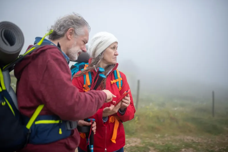
You finish a hike, pull up your fitness app, and see a respectable 1,200 feet of elevation gain. Feels about right. Except your trail buddy's app says 980 feet. And the park's official trailhead sign says 1,050 feet. Somebody's wrong — maybe everybody is.
Elevation is one of those GPS metrics that people treat as gospel but probably shouldn't. Whether you're a weekend hiker trying to gauge workout intensity, a cyclist planning a brutal mountain route, or a driver wondering whether that "scenic shortcut" is actually a white-knuckle mountain pass, bad altitude data can quietly wreck your plans. And the frustrating part? Most users have no idea the problem even exists.
Why GPS Is Actually Pretty Bad at Altitude
Here's the thing most people don't realize: GPS was designed to nail your horizontal position — latitude and longitude. Altitude was almost an afterthought. The geometry of satellite positioning means vertical accuracy is inherently weaker than horizontal accuracy. A standard GPS receiver can typically pin your location to within about 10 to 15 feet horizontally. But vertically? You're looking at errors anywhere from 50 to 150 feet under normal conditions, and significantly worse in dense tree cover or steep terrain.
Why the gap? It comes down to satellite geometry. GPS satellites orbit roughly 12,500 miles above Earth, and they're spread across the sky in a way that gives you great horizontal triangulation. But because no satellites are directly below you (obviously), vertical positioning relies on signals arriving at shallower angles — and that geometry is just less precise.
When you're tracking a trail run or a hike, those errors compound over time. Every small miscalculation in altitude gets added to the cumulative elevation gain total. A device that's off by 30 feet at any given moment can balloon that into hundreds of feet of phantom climbing by the end of a three-hour workout.
Barometric vs. GPS Elevation: Not the Same Thing
This is where it gets interesting. Many modern fitness devices — Garmin watches, Apple Watch Ultra, higher-end Fitbits — include a barometric altimeter alongside GPS. These two systems work very differently, and they each have their own failure modes.
A barometric altimeter measures air pressure and converts it into altitude. Air pressure drops predictably as you go higher, so this method can be remarkably accurate — often within 3 to 10 feet when properly calibrated. The catch? Barometric pressure also changes with weather. A storm rolling in, a temperature swing, or even just moving from a shaded valley into direct sunlight can throw off the pressure readings. If you start a long hike on a clear morning and the weather shifts by afternoon, your altimeter may drift noticeably.
GPS-only devices (including most smartphones) skip the barometer entirely and rely on satellite geometry alone. That's where the biggest errors creep in. Some navigation apps try to compensate by referencing a digital elevation model — essentially a pre-built map of terrain heights — and snapping your GPS coordinates to that model. This helps a lot on well-mapped trails and roads, but it breaks down in areas with lower-resolution mapping data, and it can't account for real-time positioning errors.
The takeaway: a hybrid device using both barometric and GPS data, with smart sensor fusion, gives you the best results. But even those aren't perfect.
What This Means for Hikers and Endurance Athletes
If you're training for a mountainous event — say, a Colorado 14er attempt or a trail marathon with serious vert — inaccurate elevation data can genuinely mess up your preparation. Training plans for altitude-heavy events are calibrated around cumulative elevation gain. If your app is overcounting by 20 percent, you might think you're more prepared than you are. Undercounting has the opposite problem: you show up undertrained for the actual demands of race day.
For hikers estimating trip difficulty, elevation gain is one of the primary inputs. The standard hiking formula uses about 2 miles per hour of travel time plus an additional hour for every 1,000 feet of gain. If your mapping app is feeding you bad elevation numbers, your estimated completion time is off — and in a backcountry setting, that miscalculation can mean getting caught on an exposed ridge after dark.
Fitness app calorie calculations are also tied to elevation data. Climbing burns significantly more calories than flat walking, so apps that overcalculate your elevation gain will overestimate your caloric burn. For athletes tracking fueling and recovery, that's not a trivial error.
The Route Planning Side of the Problem
Elevation errors aren't just a fitness issue — they affect everyday navigation too. Several navigation apps now offer route options that factor in terrain difficulty, steepness, or fuel efficiency (especially relevant for EV drivers, where steep grades meaningfully affect range). If the underlying elevation data is inaccurate, these "smart" routing decisions are built on a shaky foundation.
Driving apps that promise to route you around steep grades — useful for RV drivers, truckers, or anyone towing a trailer — are particularly vulnerable. A road that looks manageable on a smoothed elevation profile might actually have a sharp, punishing grade that the data simply missed. Some mapping services use low-resolution terrain models that average out steep sections, making a 12-percent grade look like a gentle incline.
Practical Fixes You Can Actually Use
So what can you do about it? A few things:
Use a device with a barometric altimeter if accuracy matters. For serious hiking or endurance sports, a GPS watch with a built-in barometer is worth the investment. Just remember to let it calibrate before you head out — most devices allow you to manually enter a known elevation at the trailhead.
Cross-reference with a dedicated topo map. Apps like Gaia GPS and CalTopo use high-resolution USGS elevation data and are generally more accurate than consumer fitness apps for trail navigation. For route planning, these are worth bookmarking.
Check your app's data source. Some fitness platforms let you see whether elevation data was recorded live (from a sensor) or calculated afterward (from a terrain model). Post-processed elevation data is typically smoother but can miss sharp terrain features.
Don't trust a single source for critical decisions. If you're planning a backcountry route, compare elevation profiles across two or three sources. If they disagree significantly, dig into the underlying data quality for that specific area.
Recalibrate regularly. If your device has a barometric altimeter, recalibrate it at known reference points — trailhead markers, summit signs, or any location where the official elevation is posted.
The Bigger Picture
Navigation technology has come an incredibly long way, and it's easy to assume that the numbers your device spits out are authoritative. For most everyday use, they're close enough. But "close enough" has a different meaning when you're planning a demanding backcountry trip, dialing in race training, or routing an overloaded trailer through mountain passes.
Elevation is one of those metrics where understanding the limitations of your tools genuinely matters. Your GPS is smart — but it's not infallible. Knowing where it falls short is how you navigate smarter.