Up, Down, or Somewhere in Between: Why Your GPS Has No Clue Which Floor You're On
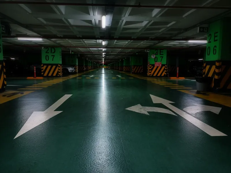
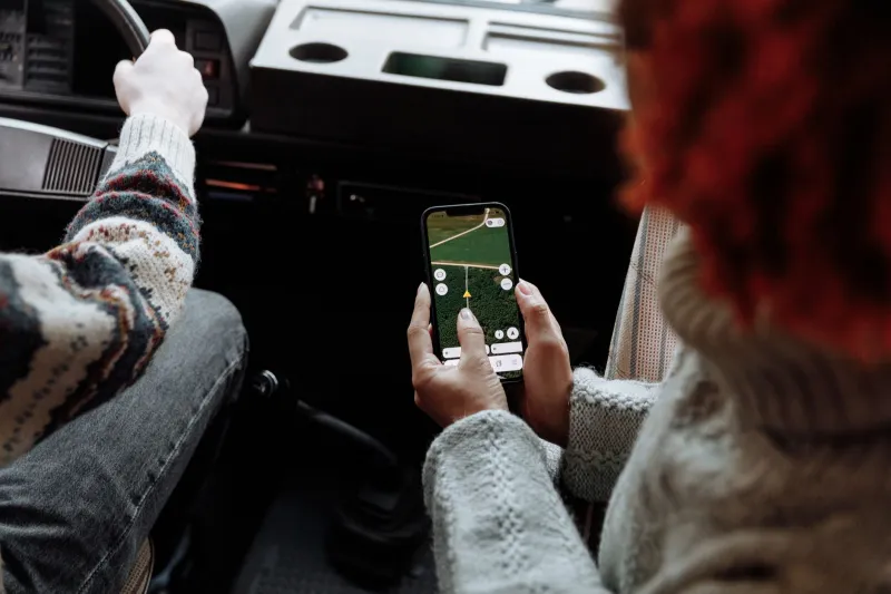
You've probably had this moment: you pull into a multi-level parking garage, open your navigation app, and watch the blue dot hover somewhere in the middle of the building like it's floating in a fever dream. Or maybe you're spiraling down a ramp into an underground lot, and Google Maps still thinks you're cruising the street above. It's frustrating, sure — but it's also a sign of something much deeper going on inside the tech you trust every day.
GPS is genuinely impressive when it comes to horizontal accuracy. Modern consumer-grade receivers can lock you down to within about 10 to 16 feet on a good day. That's wild when you think about it — satellites thousands of miles up in orbit are helping your phone figure out which side of the street you're on. But vertical accuracy? That's a completely different story, and the gap between what GPS promises and what it actually delivers in the up-down direction is bigger than most people ever stop to think about.
Why Satellites Are Basically Useless for Knowing Your Floor
Here's the thing about GPS satellites: they orbit the Earth at roughly 12,500 miles up, and from your phone's perspective on the ground, they're all hanging somewhere above the horizon. That geometry creates a problem called poor vertical dilution of precision — a fancy way of saying the satellites aren't spread out in a way that makes altitude calculations reliable.
When your phone calculates your position, it's doing a kind of triangulation using signals from multiple satellites. For horizontal position, satellites spread across the sky give you good cross-referencing angles. But for altitude, you'd ideally want satellites both above and below you — which obviously isn't happening unless you're planning to bury a receiver in the ground. The result is that vertical positioning errors are typically two to three times worse than horizontal ones. In a best-case outdoor scenario, your GPS might be off by 30 to 50 feet vertically. In an urban canyon surrounded by skyscrapers, or underground, that error balloons dramatically.
In a city like Chicago or Manhattan, where you might be in a basement parking structure that's 20 feet below street level, your GPS could easily report you as being on the second floor of the building above. That's not a rounding error — that's a completely different world.
The Urban Canyon Makes Everything Worse
Tall buildings don't just block your view of the sky — they actively mess with GPS signals through a phenomenon called multipath interference. Signals from satellites bounce off glass facades, steel structures, and concrete walls before reaching your phone's antenna. Your receiver picks up these reflected signals alongside the direct ones, and the extra travel time makes it think it's farther from the satellite than it actually is. The math breaks down, and your position gets dragged in weird directions — including vertically.
If you've ever watched your navigation app put you half a block away from where you actually are while walking through downtown Seattle or downtown Houston, you've felt multipath interference at work. Underground, it's even more extreme because direct satellite signals can barely reach you at all. Your phone is essentially guessing based on whatever scraps of signal managed to sneak down the ramp behind you.
The Barometer to the Rescue — Sort Of
Phone manufacturers figured out pretty early that GPS alone wasn't going to cut it for vertical positioning, so most modern smartphones now include a barometric pressure sensor. The logic is sound: air pressure drops predictably as altitude increases, so if you know the baseline pressure at ground level, you can estimate how high up you are based on pressure changes.
Apple's iPhones have used barometric altimeters since the iPhone 6. Many Android flagships include them too. When these sensors work well, they can track floor-level changes with impressive accuracy — good enough that fitness apps can count how many flights of stairs you've climbed.
But there's a catch. Barometric sensors are measuring pressure, and pressure changes for reasons that have nothing to do with altitude. Weather systems, HVAC systems blowing air through a building, and even the pressure difference between an outdoor plaza and an enclosed shopping mall can throw off readings. The sensor also needs a calibrated baseline — it has to know what "ground level" pressure is before it can tell you how far up or down you've moved. In a parking garage that connects to a subway level that connects to a shopping concourse, that baseline gets hopelessly confused.
When Vertical Confusion Actually Becomes Dangerous
For most everyday navigation, getting your floor wrong is annoying but not catastrophic. But there are real-world scenarios where vertical positioning errors cross into genuine safety territory.
Emergency services are one of the biggest concerns. If you call 911 from a high-rise building or a multi-level complex, first responders need to know not just the address but the floor. Many 911 dispatch systems are now required by the FCC to meet vertical accuracy standards — specifically, a push for systems to locate callers within 3 meters vertically 80% of the time. The reality on the ground is that this standard is still being phased in, and plenty of older infrastructure doesn't meet it. Seconds matter in an emergency, and sending paramedics to the wrong floor of a building costs time nobody has.
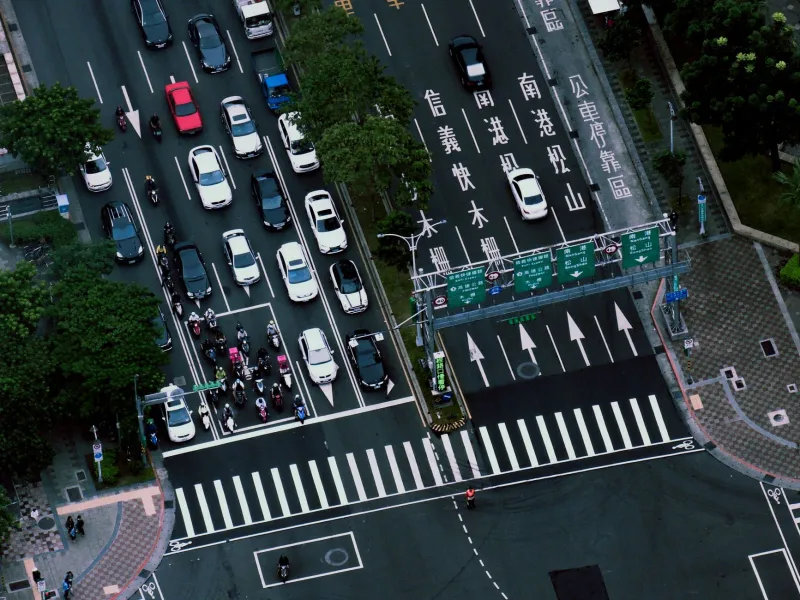
There are also navigation scenarios in complex interchanges and stacked highways where the difference between an overpass and the road below it is literally just a few feet of vertical space. Systems that can't reliably distinguish between levels can route drivers onto the wrong deck of a bridge or send them circling a cloverleaf when they should've already exited.
What's Actually Getting Better
The industry isn't standing still. Indoor positioning technologies like Wi-Fi RTT (round-trip time), Bluetooth beacons, and ultra-wideband signals are filling gaps that GPS simply can't cover. Shopping malls, airports, and large venues are increasingly deploying these systems to give apps floor-level awareness that satellites can't provide.
Some navigation apps are also getting smarter about fusing data from multiple sensors — combining barometric readings, accelerometer data, and signal strength maps to make better educated guesses about vertical position. Apple Maps and Google Maps both use sensor fusion to varying degrees, though neither is perfect in complex multi-level environments.
The longer-term hope sits with technologies like LEO (low Earth orbit) satellite constellations, which operate much closer to the surface than traditional GPS satellites. Their geometry is better for vertical accuracy, and companies are actively exploring how to incorporate them into consumer positioning systems.
The Takeaway
Your GPS is still one of the most useful tools on your phone — but it's worth understanding where it's working hard and where it's basically winging it. Horizontally, it's usually solid. Vertically, especially in garages, basements, dense urban cores, and multi-story structures, it's often flying blind.
Next time your blue dot floats through a wall or parks itself on the wrong floor, you'll know it's not a glitch — it's a fundamental limitation of technology that was designed to navigate a flat world, not a stacked one. The fix is coming, slowly, but for now, sometimes the best navigation tool in a parking garage is just following the signs.