The Construction Blind Spot: Why Your GPS Has No Idea That Road Is Torn Up
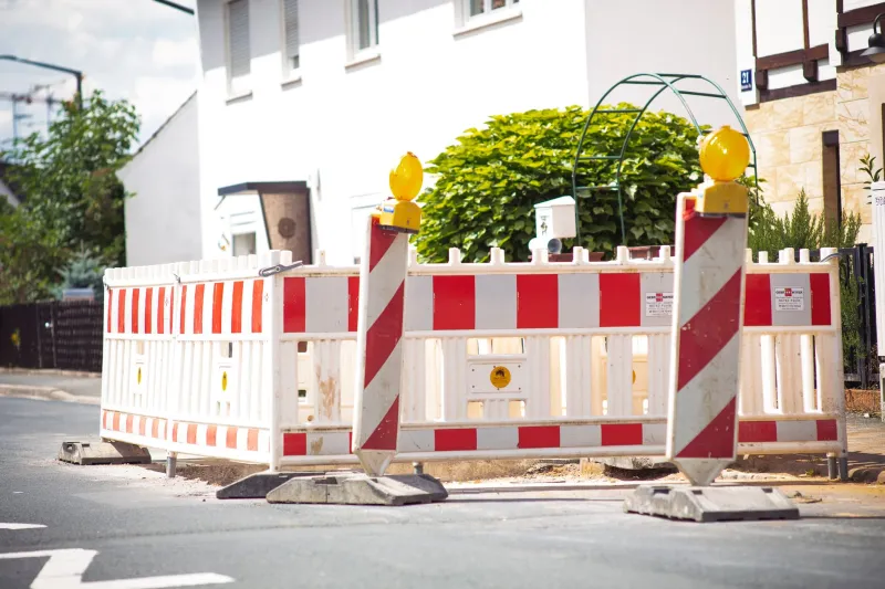
You're cruising down a familiar stretch of highway, navigation app humming along confidently, when suddenly a wall of orange barrels appears out of nowhere. The left two lanes are gone. Cones stretch as far as you can see. Your GPS? Still cheerfully telling you to stay in the left lane.
This isn't a glitch. It's a systemic problem — and it's happening to American drivers every single day.
The Gap Nobody Talks About
Here's the thing about road construction: it moves fast, and it moves constantly. The Federal Highway Administration estimates that at any given moment, there are tens of thousands of active construction zones across the US. That's a staggering amount of temporary lane closures, detour routes, and shifted traffic patterns that need to make their way into the mapping databases your phone relies on.
The problem is that pipeline — from shovel hitting pavement to your navigation app knowing about it — is broken in ways most people don't fully appreciate.
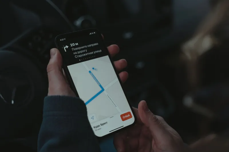
Mapping platforms like Google Maps, Apple Maps, and Waze all rely on a patchwork of data sources: government road databases, user reports, fleet telemetry, and increasingly, AI-driven image analysis from street-level photography. But none of these systems update in true real time when a construction crew shows up at 5 AM and closes two lanes by 6.
User-submitted reports help, but they're reactive. Someone has to drive through the mess first, get frustrated enough to tap "Report," and then the platform has to validate that report before it starts rerouting other drivers. By that point, dozens of cars may have already been funneled into a construction zone with no warning.
What Construction Crews Actually Deal With
Talk to anyone managing a mid-size road project and you'll hear a version of the same story. Permit paperwork gets filed with the city or state DOT, lane closure schedules get submitted — but that information sits in government databases that mapping companies don't always have clean, real-time access to.
The disconnect is partly bureaucratic and partly technical. State DOTs have their own data formats, their own update cycles, their own portals. Some states have made real progress pushing construction data to navigation platforms through 511 systems and connected infrastructure programs. Others are still essentially faxing the future.
Even when the data does flow, there's a lag. A construction permit might be filed a week in advance, but the actual lane configuration can change daily — or even shift mid-afternoon based on crew progress. That granular, hour-by-hour reality almost never makes it into the map you're staring at on your dashboard.
The Near-Miss Problem
The consequences aren't just inconvenience. Construction zones are among the most dangerous environments on American roads. According to the National Work Zone Safety Information Clearinghouse, thousands of crashes occur in work zones every year, and a meaningful share involve drivers who were clearly surprised by conditions they didn't expect.
When your GPS routes you confidently into a zone where a lane has been closed, your speed, your lane positioning, and your mental readiness are all calibrated for normal road conditions. That mismatch — between what the app says and what the road actually looks like — creates a reaction-time problem that even attentive drivers can struggle with.
The issue gets worse at night or in low-visibility conditions, when those orange barrels can appear with very little warning and the navigation audio is still telling you to keep going straight.
Why Real-Time Isn't Actually Real Time
Navigation apps market themselves heavily on live traffic data, and to be fair, they've gotten genuinely good at detecting slowdowns and accidents. But traffic congestion is something the system can infer from thousands of phones slowing down simultaneously. Construction zone changes are different — they're structural, not behavioral.
A new lane configuration doesn't announce itself through GPS signal patterns. It requires someone to actually encode that change into the road network data, and that process has multiple steps, multiple human touchpoints, and multiple opportunities for delay.
Waze has arguably gone furthest in crowdsourcing construction alerts from drivers and even partnering with municipalities to get ahead of closures. Google has been expanding its partnerships with state transportation agencies. Apple Maps has invested in more frequent ground-truth data collection. But all of these efforts are still playing catch-up with the sheer volume and volatility of active construction across the country.
What Drivers Can Actually Do
So what's the move here? A few practical things actually help.
Check 511 before long trips. Most states run a 511 traveler information service that aggregates construction and closure data directly from the DOT. It's not glamorous, but it's often more current than your navigation app for planned work zones.
Don't sleep on Waze alerts. Even if the map itself isn't updated, Waze's user report layer tends to surface active construction warnings faster than most platforms because the community is large and pretty trigger-happy about flagging slowdowns.
Slow down when you see the first sign. This sounds obvious, but it's worth saying: construction zone warning signs typically appear before your GPS knows anything is different. Treat those signs as your real-time data source, not the app.
Report what you see. Every time a driver submits a construction alert, they're feeding the system that helps the next person. It takes about five seconds and it genuinely makes the data better over time.
The Bigger Picture
This is ultimately a data infrastructure problem, not just a navigation app problem. The missing link is a standardized, real-time channel between construction permit systems and the mapping platforms millions of Americans use every day.
Some progress is happening. The US Department of Transportation has been pushing work zone data exchange standards, and a handful of states have piloted programs that push active construction data directly to navigation platforms. Connected vehicle technology, if it ever reaches meaningful adoption, could eventually give cars direct awareness of work zone conditions without relying on map databases at all.
But right now, in 2025, the gap is real. Your GPS is working with a version of the road that may be days or weeks behind reality. That's not a reason to throw your phone out the window — it's a reason to stay a little more alert than the app is telling you to be.
The orange barrels don't care how confident your navigation voice sounds.