Why Your GPS Crushes It on the Freeway But Gets Lost the Moment You Turn Onto Your Street
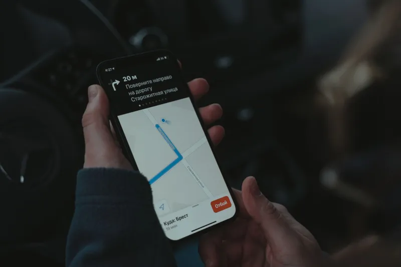
You've probably experienced this more times than you can count. A road trip goes smoothly — lane guidance, merge warnings, the whole package. Then you exit the highway, roll into a residential neighborhood, and suddenly your navigation app is confidently sending you down a dead-end cul-de-sac or telling you to turn onto a street that's been a pedestrian path since 2019. The GPS that just guided you across four states can't figure out the last quarter mile to your friend's house.
This isn't a glitch. It's a feature of how the mapping industry actually works — and it reveals a pretty uncomfortable truth about which roads matter and which ones don't.
The Highway Gets All the Love
Mapping companies aren't bad at their jobs. They're just working with what they have, and what they have is way more data about interstates and arterial roads than about the quiet streets where most of us actually live.
Think about how mapping data gets collected. Dedicated survey vehicles — those cars with the spinning sensor rigs you've definitely seen — hit the road to capture street geometry, signage, and lane markings. Those vehicles prioritize high-traffic corridors because that's where the most users are, where commercial demand is highest, and frankly, where it's easier to justify the cost of a survey run.
Federal highways get refreshed constantly. State routes get regular attention. But that little loop of townhomes tucked behind the shopping center? It might not see a survey vehicle for years. And when the data does exist, it's often sourced from municipal records or satellite imagery — both of which have their own accuracy limitations when it comes to fine-grained details like one-way restrictions, speed bumps, or recently added traffic calming measures.
The Data Collection Problem Nobody Talks About
Here's the thing about residential streets: they change constantly, and in ways that are genuinely hard to track at scale.
A neighborhood in Phoenix might get a new traffic circle installed. A street in suburban Chicago might get reclassified as resident-only parking after 6 PM. A road in a Charlotte subdivision might get a physical barrier added after years of cut-through traffic complaints. None of these changes automatically flow into the mapping database of your navigation app. Someone has to report it, verify it, and push an update — and that process is slower and less reliable the further you get from major roads.
Urban core areas fare better because they have denser populations, more active users generating real-time data, and local governments that are more likely to have digital data-sharing agreements with mapping platforms. But the suburbs and semi-rural residential zones? They're operating on map data that could easily be a year or two out of date.
And it compounds. Outdated data means users get bad routes. Bad routes mean users lose trust and stop contributing feedback. Less feedback means the data stays stale. It's a cycle that's really hard to break.
Why Crowdsourced Mapping Is Actually the Real Answer
If you've ever used Waze and noticed it sometimes feels more "alive" in residential areas than Google Maps, there's a reason for that. Crowdsourced mapping — where the users themselves are the sensors — scales in ways that corporate survey fleets simply cannot.
OpenStreetMap (OSM) is the most ambitious example of this approach. It's essentially the Wikipedia of maps, maintained by volunteers who walk, drive, and bike their local streets and contribute edits directly. In many residential areas across the US, OSM data is genuinely more accurate than what the big commercial platforms are working with, precisely because local contributors care about their own streets in a way that a mapping company's logistics team doesn't.
Apps like OsmAnd and organic Maps are built on OSM data and have quietly developed passionate followings among people who've noticed the difference. For navigating tight residential grids, older subdivisions, or areas undergoing rapid development, they can outperform the household names.
Waze's community reporting model hits somewhere in the middle — it's corporate-owned (Google bought it back in 2013), but it still relies heavily on user reports to surface real-time conditions that satellite passes and survey vehicles would miss.
Practical Moves You Can Make Right Now
You don't have to just accept that your navigation app is going to fumble your neighborhood. A few adjustments can make a real difference.
Cross-reference before you commit. If you're heading somewhere new in a residential area, pull it up on two different apps before you leave. Google Maps and Apple Maps disagree more often than you'd think once you get off the main roads. If they show different routes, that's a signal to pay attention.
Use satellite view as a sanity check. Before you drive somewhere unfamiliar, zoom into satellite view on the destination area. You'll often spot things the map layer doesn't reflect — gated entrances, parking lot layouts, one-way approaches, or construction that's clearly underway.
Report errors when you see them. Every major navigation app has a built-in way to flag map issues. It takes about 30 seconds and genuinely helps. Google Maps, Apple Maps, and Waze all feed user reports back into their data pipelines. You're not just helping yourself — you're fixing it for everyone who drives that street after you.
Download offline maps for your home area. This sounds counterintuitive, but offline maps from apps like Maps.me or OsmAnd are often compiled from OSM data, which — as mentioned — can actually be more detailed in residential zones. Having a local offline map as a backup isn't just a connectivity play; it's sometimes a data quality play too.
Trust your instincts over the app. If your navigation is telling you to make a turn that clearly looks wrong — a narrow path, a private drive, a street that dead-ends into someone's backyard — trust your eyes. The app doesn't know what you can see in real time.
The Gap Isn't Closing Fast Enough
Mapping companies have made genuine strides in recent years. AI-assisted imagery analysis, expanded crowdsourcing programs, and partnerships with local governments have all helped. But the fundamental economics of the mapping industry still favor the roads that generate the most data and the most revenue — and that usually isn't the street you live on.
Until there's a stronger financial incentive to invest in granular residential data, or until community-driven mapping reaches critical mass, the last mile is going to keep being the hardest mile. Your navigation app will get you to the neighborhood. Getting you to the door is still partly on you.
Not a bad reason to actually learn your own streets.