So Close, Yet So Lost: The Final 500 Feet Problem That's Driving Navigators Crazy
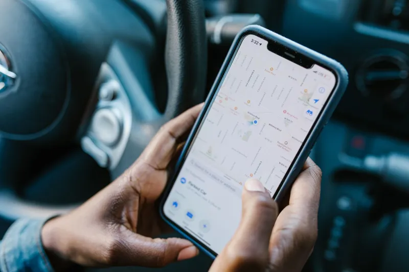
You've driven four hours. You've merged, exited, turned left at the light, and followed every instruction without a hitch. Then your phone announces, "You have arrived at your destination" — and you're staring at a blank stretch of curb, a locked fence, or the back wall of a strip mall. The actual place you need to be? Somewhere behind all of that.
It's one of the most universally frustrating experiences in modern driving. And it has a name in the navigation world: the last-mile problem. Or more precisely for drivers, the last-500-feet problem.
Why GPS Thrives on the Open Road
To understand why navigation breaks down at the finish line, you first need to appreciate how well it works everywhere else. On interstates and major arterials, GPS apps are basically operating in their sweet spot. Roads are wide, well-documented, and updated constantly. Highway geometry is stable — an on-ramp that existed five years ago almost certainly exists today in the same spot. Mapping companies pour resources into these corridors because that's where the majority of driving miles happen.
Satellite positioning is also more reliable in open environments. When you're doing 70 mph on I-95, the sky above you is wide open. Your phone's GPS chip is pulling clean signals from multiple satellites, and the app's confidence in your position is high. The margin of error might be 10 to 15 feet — close enough that it doesn't matter.
Now compare that to the moment you turn into a residential neighborhood or approach a commercial address.
The Address Database Is Older Than You Think
Here's something most people don't realize: the address data powering your navigation app wasn't collected last week. A significant chunk of it traces back to postal databases, county assessor records, and municipal GIS files that were last updated years ago — sometimes over a decade ago in lower-priority areas.
These databases assign a geographic coordinate to an address using a process called geocoding. For most addresses, geocoding works by interpolating a position along a known road segment. If a street has houses numbered 100 through 200, the system estimates that number 150 sits roughly in the middle of that block. It's a reasonable guess. But it's still a guess.
The problem compounds when you factor in newer developments, subdivisions with private internal roads, apartment complexes with multiple buildings, or commercial properties with large parking lots. The geocoded pin might technically sit on the right parcel of land — but that doesn't mean it's pointing you toward the entrance a driver can actually use.
Private Driveways Are a Mapping Dead Zone
Navigation companies have mapped virtually every public road in the United States. Private driveways and internal access roads? That's a different story entirely.
Consider a sprawling apartment complex in suburban Atlanta or a corporate campus outside of San Jose. The public street address might drop you at the main entrance to the property — or it might drop you at the edge of the parcel, with no indication of where to actually go once you're inside. Navigation apps generally don't map internal circulation roads because those roads aren't publicly maintained, don't appear in government databases, and change frequently as properties are developed or renovated.
The same issue hits single-family homes with long, winding driveways in rural areas. Your GPS plants a pin at the road-facing edge of the property, because that's where the address is technically registered. The actual house might be a quarter mile back through the trees.
Signal Drift Gets Worse When You Slow Down
There's also a physics problem working against you in those final moments. GPS accuracy degrades in urban canyons — areas where buildings on both sides of the street reflect and scatter satellite signals. The slower you're driving, the more time the app has to accumulate positioning errors without the motion data needed to correct them.
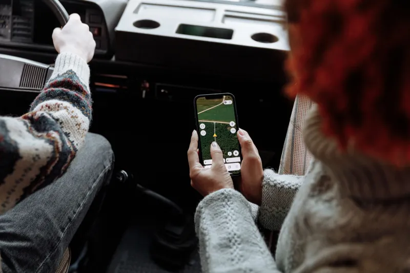
Modern navigation apps use a technique called dead reckoning to smooth things out. When satellite signals get spotty, the app falls back on your phone's accelerometer and gyroscope to estimate movement. But dead reckoning drifts over time. At highway speeds, you move through the error zone quickly. At 5 mph, creeping through a parking lot trying to find the right building entrance, that drift adds up fast.
The result: your blue dot is confidently sitting in the middle of the parking lot while you're actually two rows over, completely turned around.
The "Arrived" Announcement Problem
There's a user experience decision baked into most navigation apps that quietly makes this worse. The moment your position comes within a certain radius of the destination pin — typically somewhere between 100 and 300 feet — the app calls it a win and announces arrival. It stops giving directions. It stops actively guiding you.
From the app's perspective, the job is done. From your perspective, you're still lost.
Some apps have started experimenting with what engineers call "venue arrival" — the idea that arriving at an address and arriving at the usable entrance of a destination are two different things. Google Maps has made incremental progress here, particularly for airports and large venues, where it can now guide you toward specific terminal entrances or parking structures. But for the vast majority of everyday destinations — a friend's house, a small business, a medical office park — that level of granularity simply doesn't exist yet.
What Better Data Could Fix
The navigation industry is aware of the gap. The push toward higher-resolution mapping, sometimes called HD mapping or centimeter-level mapping, aims to capture not just road centerlines but full lane geometry, curb positions, and even parking lot layouts. Companies like HERE Technologies and TomTom have been building out these datasets, primarily for autonomous vehicle applications.
Street-level imagery collected by mapping vehicles — think the cars with the spinning camera rigs you occasionally see — is also being used more aggressively to identify driveway entrances, parking lot access points, and building entry locations that wouldn't show up in traditional address databases.
Crowdsourced data is another piece of the puzzle. Apps like Waze have long relied on user reports to fill in gaps that automated systems miss. Some mapping platforms are now experimenting with letting users explicitly tag the "best entrance" for a location — essentially building a layer of practical, human knowledge on top of the raw coordinate data.
The Gap That Remains
None of these solutions are fully deployed at scale, and the last-mile problem isn't going away quietly. The honest reality is that navigation technology was built to solve a highway-scale problem, and it did that brilliantly. The final few hundred feet of a trip operate at a completely different resolution — one that requires a level of ground-truth detail that's expensive, labor-intensive, and constantly changing.
Until that gap closes, the experience of being "arrived" while still genuinely lost is going to stay frustratingly common. Your GPS didn't fail you across four hours of driving. It just couldn't quite finish the job.
And in navigation, the last few feet are the ones that actually matter.